
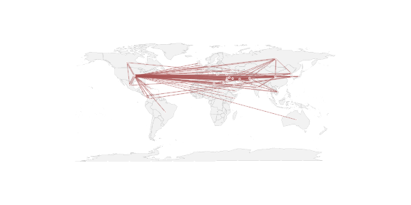
A conversation on the SOCNET mailing list made me think that it might be worth writing up a quick illustration of how to do this in R with the network library. There are a 3 steps to a really basic geographic network plot:
- Get relational data with appropriate lat and long coordinates for vertices (the hard step!)
- Tell one of the R mapping libraries to plot a map
- Tell the network library to plot the network with the lat & long coordinates, without first erasing the map