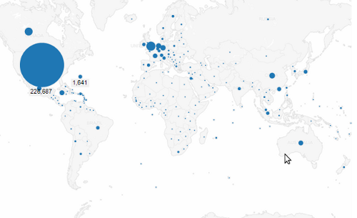
I just spent some time comparing various tools for publishing web visualizations of region-coded data. I looked at some Google tools, ManyEyes, and Tableau Public. This is what I learned using my demo example. Please let me know of any other tools I should test…

Very interesting rundown, thanks for putting that together. As the founder of the project I’d be interested to hear your thoughts on http://www.openheatmap.com/ too.
Thanks for the tip Pete. I’ve just tried out OpenHeatMap and added it as another example.
I do not know if you are still interested in testing another websites or tools but I would like to know what do you think about this one:
http://geocommons.com/
Cheers